
Trace a Pensacola Street
A sound Pensacola street directory search moves from the place to the people. Start with the physical, or situs, address in the Escambia County Property Appraiser search. The parcel card supplies the current owner, parcel and account numbers, legal description, taxing authority, and selected sales links. Those keys make the next searches far less prone to a same-name mistake. A mailing address is only where the owner receives tax mail. It may be in another ZIP or state, and it does not prove who sleeps at the house.
Work one address at a time when surveying a Pensacola block. Keep a short record of each source, search date, and exact spelling. This preserves the difference between an owner named on a parcel, a party named in a deed, and a voter whose public residence line falls on the street.
- Enter the number and street in the ECPA Real Estate Search, using a short form if the full address fails.
- Open the same parcel in the GIS viewer, then select the next lots along the street segment.
- Copy the owner, situs, parcel ID, account, legal description, and sales book and page.
- Follow the book and page into Landmark, then search earlier grantors and grantees by name.
- For lawful resident evidence, compare the voter extract and historical cross directories without treating either as a complete household list.
Search Pensacola Parcels by Address
The appraiser's smart field recognizes several kinds of input. Its own advice is that less is more: begin with the number and street, allow for postal abbreviations, and then narrow the comparison mode. A quoted fragment can stop a short street token from producing an overly broad set. The basic form does not expose a verified ZIP-wide filter, so the Pensacola street directory should use a street or parcel key here.
| Search control | Input | How to use it |
|---|---|---|
| Search | Autocomplete text | Location address, owner name, complex, 16-digit parcel ID, or 9-digit account |
| Expanded parcels | Checkbox | Includes subdivision, header, or complex results |
| Advanced criteria | Checkbox | Extra criteria exist, but their controls were not verified |
| Comparison | Mode | Like or contains, Begins, or Exact Match |
A parcel result can show much more than a name. Pensacola cards may include annual assessments, exemptions, sales, a legal description, zoning, acreage, buildings, structural details, and dated images. The roll is made for assessment, and ECPA warns that its parcel mapping is not survey quality. Use it as an index to the official instruments, not as a boundary survey.
Source view: the Escambia Property Appraiser address form is the first address-keyed stop.
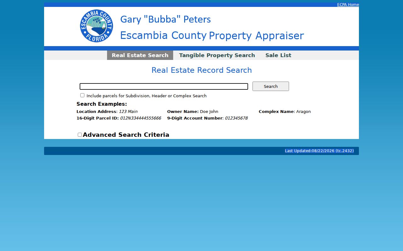
The form accepts the short address, owner, complex, parcel, and account inputs used in the workflow above.
Browse Pensacola Streets in GIS
The ECPA interactive parcel map turns one result into a street-by-street view. Search a category and value with Like, Begins, Ends, or Equals. Then use Identify or Single Select for one lot. Line, polygon, freehand, and radius tools collect several lots, while Append Selection adds parcels without dropping the first set. Radius reaches up to 10,560 feet, but a polygon often follows a block more cleanly because a radius crosses roads and rear lot lines.
The layer list gives context that a plain name result lacks. It includes parcel dimensions, subdivisions, city and county zoning, road classes, wetlands, contours, easements, property history, and aerials from 2003 through 2025 at listed intervals. Each selected account can lead back to Parcel Detail. Download files join owner-mailing and parcel geometry through Parcel ID, which helps with large lawful research projects.
Source view: the Escambia parcel GIS viewer shows the map and selection controls.
The map supplies the lot relationships that a list of street addresses cannot show on its own.
Note: ECPA mapping help is available at 850-434-2735 when a parcel, account, or mapped line cannot be reconciled.
Pensacola Street Directory Sources
No single Pensacola record names all occupants. The best street directory combines address-keyed rolls with indexes keyed by names or legal descriptions. The source and its limit should stay beside every conclusion.
| Address source | Custodian | Street evidence | Access route |
|---|---|---|---|
| Assessment parcel | Escambia Property Appraiser | Owner, mail versus situs, legal, exemption, buildings, selected sales | Free address, name, ID, or account search |
| Parcel GIS | Escambia Property Appraiser | Adjacent lots, zoning, aerial change, parcel detail | Free viewer, selections, and downloads |
| Deeds and mortgages | Escambia Clerk | Parties, roles, legal description, consideration, book/page, image | Landmark, old deed browser, or counter |
| Tax account | Escambia Tax Collector | Tax status tied to name, address, or account | Free public search |
| Voter registration | Florida Division of Elections | Public registered-voter residence fields | Monthly extract request; protected records omitted |
| Permit or code file | City of Pensacola | Public applicant, contractor, work, and address evidence | City portal or records request |
The parcel number ties the map to the card. A legal description and sales book/page then bridge the card to the recorded deed. The voter file and old address directories answer narrower occupancy questions, but each omits some people. That is why an owner's name must not be relabeled as a resident without separate proof.
Pensacola Mailing and Situs Clues
A key Pensacola street directory distinction is the split between Mail and Situs. Situs is the physical parcel location. Mail is the address used for tax correspondence. ECPA's inspected Blakely Avenue example displays a 32507 situs while the owner's mail goes to a different address in 32506. A homestead exemption may support owner occupancy, yet it still does not list every person at the site or settle residence by itself.
- Parcel
- A mapped unit of land tied to an appraiser identifier and assessment record.
- Situs address
- The physical location attached to the parcel, distinct from the owner's mail destination.
- Plat
- A recorded drawing that identifies subdivisions, lots, blocks, roads, and related boundaries.
- Criss-cross directory
- A directory arranged by street and house number, often used to find a named occupant in a given year.
Owner is not occupant. A tax-mail address, deed, or exemption is useful evidence, but none enumerates the whole household.
Link Pensacola Addresses to Deeds
Landmark is indexed chiefly by people and recorded instruments, not by a modern street-directory browse. The Clerk directs researchers who start with an address or legal description to the Property Appraiser. From the parcel's Sales Data, copy the OR book and page, then use Landmark Official Records. Confirm both parties, the recorded date, instrument type, and legal description before accepting the match.
Landmark supports Name, Document Type, Book/Page, Consideration, Case Number, Clerk File Number, Record Date, Legal, Advanced Legal, Quick Search, and Marriage routes. Its name mode expects last name first and can include nicknames. Legal searching offers Starts with, Contain, and Equals. Results may provide a PDF image, while copies or certification can also be obtained through the Clerk's counter and Public Records Center.
For deeds from 1820 through 1982, move to the separate scanned direct and indirect books. Seven date buckets divide the run. Each bucket also splits individuals from corporations and firms. A title trail can vanish if a researcher checks only a person's book after a company or trust entered the chain. This local quirk is one reason the legal description and book/page matter more than a street spelling alone.
Pensacola Voters Along a Street
Florida's VoterFocus screen is for one voter's status. It requires first name, last name, birth date, agreement to its notice, and sometimes the numeric house number. It cannot browse a Pensacola street. The lawful street-level channel is the Division of Elections monthly voter extract, which contains separate residence and mailing fields in county files.
Requesters may filter the Escambia file by Residence Address Line 1, City USPS, and ZIP. Public fields can include names, residence, party, precinct and districts, while protected voters' personal fields are removed. Preregistered young voters and Address Confidentiality Program participants are excluded. Nonvoters do not appear. Voting history records participation codes, never a ballot choice.
This makes the extract a limited comparison layer, not a full Pensacola street directory. A one-person status check belongs in the Pensacola resident lookup workflow. The monthly extract request can be made through the state channel, with email, mail, or pickup specified by the Division.
Pensacola City Files by Address
City records can add the civic history of a parcel. The City of Pensacola GIS program provides streets, parcels, zoning, parks, and special-district layers while newer tools replace retiring applications. Its archived address lookup can return council district, zoning, and neighborhood association after an address or city-style parcel reference is selected. That city reference should not be confused with ECPA's parcel ID.
Permit and code material may preserve an address, public applicants, contractors, work dates, or enforcement events. Online coverage was not verified, so begin with the portal and then use the City's JustFOIA records request when no searchable file appears. Police reports, records, and permits have a separate city access page. The Sunshine Center also routes land and tax questions back to county custodians.
Source view: the Pensacola Code Enforcement page identifies the city channel for code matters.
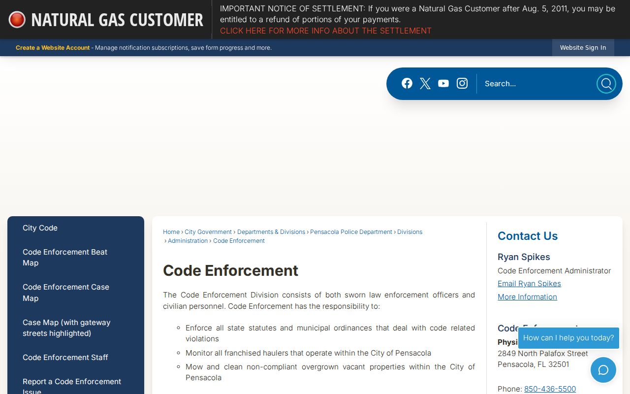
The city channel fills an address-history gap that assessment and deed records do not answer.
Read Old Pensacola Streets
Historic Pensacola directories often predate modern ZIP labels and use relative locations such as near, corner, opposite, or an intersection. Webb's 1885 street section also uses historic spellings and abbreviations for roads such as Zarragossa, Tarragona, Intendencia, Florida Blanca, and De Villiers. Search OCR with and without punctuation, test alternate spellings, and inspect the page image rather than trusting the text layer.
There is no verified single year when every Pensacola street was renumbered. Treat each mismatch as its own research task. Compare the directory's abbreviation key and street section with a Sanborn map, plat, deed legal description, and city ordinance. The full historical shelf is described in the Pensacola directory book; this address workflow uses those volumes only after the current parcel has been fixed.
Note: Street words change more readily than lot, block, legal-description, and book/page references, so keep the stable keys beside each old address.
Limits of Pensacola Street Records
A Pensacola street directory assembled from public records cannot show every adult, child, guest, household member, or family tie. Utility and delivery customer lists are not substitute resident rolls. Driver address data is restricted. Sealed court matters and protected voter data remain absent, while Florida's Address Confidentiality Program gives qualifying victims a substitute mailing address.
The sound conclusion is narrow: state exactly what a source says. “Owner on the assessment roll,” “registered voter at the public residence line,” and “grantee on the deed” are different claims. Dates matter because each custodian updates on its own schedule. When a web search fails, use the appraiser office, Clerk recording counter, Public Records Center, elections request process, city records request, or library collection documented for that record.
Lawful use. Use Pensacola address records for legitimate personal research, and never use them to stalk, harass, intimidate, or harm anyone.