
Pensacola ZIP Areas in Context
Seven Census ZIP Code Tabulation Areas intersect incorporated Pensacola in whole or in part. A ZCTA is a statistical approximation, not a USPS route and not the city line. Neighborhood descriptions below are useful for orientation, but no city or county source publishes a complete authoritative ZIP-to-neighborhood table. Exact station names were also not confirmed in the inspected official material, so they are marked for address-level verification rather than guessed.
| ZIP | Area context | Post office | Boundary note |
|---|---|---|---|
| 32501 | Downtown, Civic Center, North Hill-adjacent, central city | Verify with USPS | Incorporated core |
| 32502 | Downtown waterfront, Seville, western downtown, Westside portions | Verify with USPS | City Hall uses this ZIP |
| 32503 | East Hill, North Pensacola, central-northeast corridors | Verify with USPS | Extends beyond neighborhood labels |
| 32504 | Northeast Pensacola, airport, Cordova area | Verify with USPS | Only partly within city |
| 32505 | West and northwest Pensacola, city edge | Verify with USPS | Extends outside city boundary |
| 32507 | Southwest, Warrington, Bayou Chico, NAS-adjacent | Verify with USPS | Large unincorporated and military-adjacent reach |
| 32514 | Far northeast and University-area postal geography | Verify with USPS | Most common use lies beyond the core |
The Pensacola ZIP code directory therefore covers the city-page universe, not every code that might accept “Pensacola” as a postal city. Each address needs a USPS check and a parcel or city-map check before the area is labeled incorporated Pensacola.
Seven Pensacola ZCTAs Overlap
The seven-area count comes from the Census place profile. It describes statistical intersections with the incorporated city. It does not mean that every address in each ZIP is governed by Pensacola. That is most important around 32505, 32507, and 32514, where the Pensacola postal name reaches well beyond the municipal core.
This geography is a useful human-use layer for family, civic, and archival work. A record can truthfully say Pensacola, Florida, while its parcel falls under County MSTU rather than PENSACOLA CITY LIMITS. City Council districts, city code files, and neighborhood-association layers follow the municipal map, not the postal label.
Geography check. Pair every USPS result with ECPA Taxing Authority before calling an address part of incorporated Pensacola.
Verify a Pensacola ZIP First
The USPS City and State lookup includes a City field, State menu, and Find button, with alternate searches by address and by ZIP. It confirms mail geography. PostalPro's ZIP Locale Detail can confirm a preferred postal city and state, but neither source establishes incorporation, council district, zoning, or parcel ownership.
Source view: the official USPS ZIP Code Lookup is the delivery-code starting point.
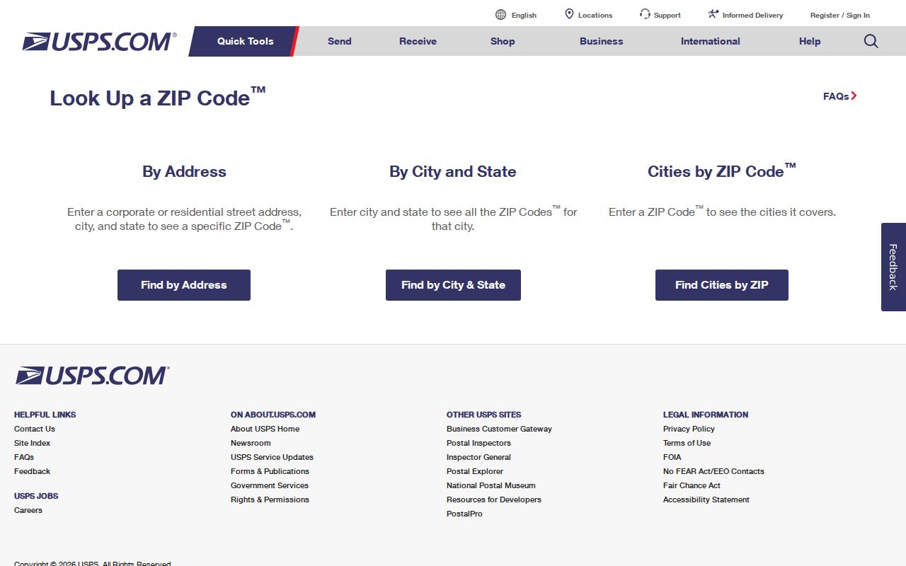
The postal result should be copied exactly, then checked against City GIS or ECPA for local jurisdiction.
| USPS control | Type | Purpose |
|---|---|---|
| City | Text | Searches codes associated with a postal city |
| State | Dropdown | Limits the city search to Florida |
| Find | Button | Returns the USPS lookup result |
| By Address | Alternate tab | Checks the delivery ZIP for one full address |
| Cities by ZIP | Alternate tab | Checks city labels associated with one ZIP |
Find Pensacola Residents by ZIP
Official search tools do not all support a broad ZIP browse. Florida's monthly voter extract has separate Residence ZIP and Mailing ZIP fields. Sunbiz can search by ZIP and street address, but its records concern business entities, registered agents, and officers rather than a general resident roll. ECPA's basic smart field does not advertise a stand-alone ZIP filter, and a ZIP layer was not verified in the exposed GIS controls.
- Verify the complete address and delivery code with USPS.
- Open the parcel in ECPA and read Taxing Authority, situs ZIP, and owner mailing ZIP as separate fields.
- For a lawful registered-voter study, request the Escambia monthly extract and filter Residence ZIP before street.
- Use Sunbiz ZIP results only for the named business roles they actually show.
- After narrowing to a road, use the Pensacola street directory for parcel and deed work.
A Pensacola ZIP code directory result should never turn an owner mailing ZIP into a physical address. The appraiser's downloadable owner-mail file and parcel shapefiles can be joined by Parcel ID, but that is a data task with two different geographies. Keep the columns distinct.
Pensacola ZIP Address Types
The same parcel can carry several address forms. Situs is the physical location used by the appraiser and GIS. Owner mailing is where tax mail goes. A legal description uses subdivision, lot and block, or metes-and-bounds wording. The parcel ID and account are custodian keys, while the USPS address is a standardized delivery label.
- ZIP Code
- A USPS delivery code associated with mail routes and postal place names.
- ZIP+4
- A more precise delivery segment appended to the five-digit code.
- PO-box ZIP
- A code or use tied to post-office box delivery rather than a street route.
- Unique ZIP
- A code assigned for a single high-volume organization or institution.
- Carrier route
- A delivery path within a ZIP, not a neighborhood or city boundary.
The legal description is often the best bridge across old street spellings or number changes. Parcel identifiers must be copied exactly because ECPA and an archived City address tool display different formats.
Check Pensacola City Jurisdiction
After USPS confirms delivery, use the Escambia County Property Appraiser to inspect Taxing Authority. A parcel can display PENSACOLA CITY LIMITS or COUNTY MSTU even when both mailing lines say Pensacola. The City maps page and Council District Map provide the municipal boundary and district check.
Source view: the City of Pensacola maps page supplies official municipal mapping resources.
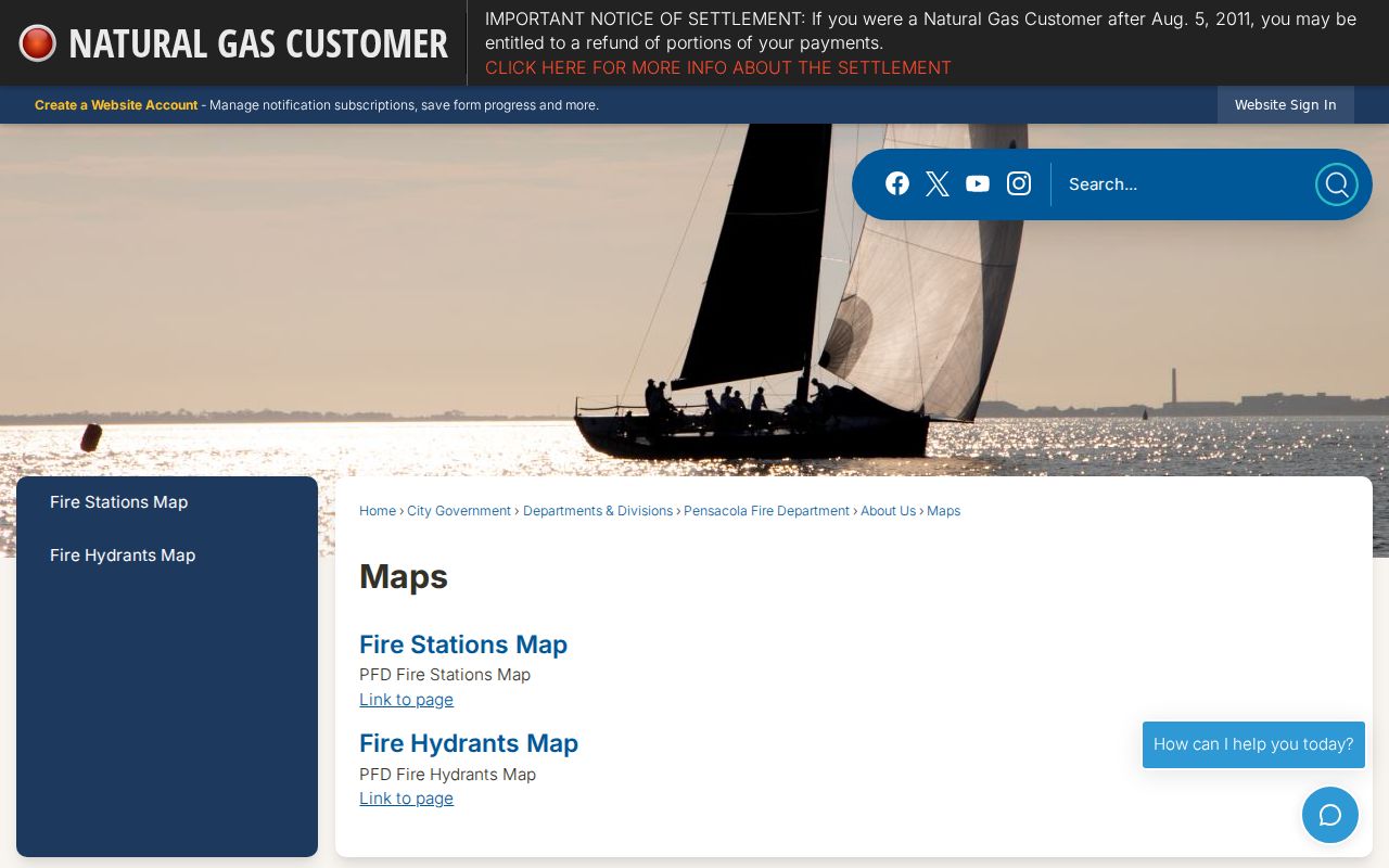
The city map answers a government-boundary question that the postal ZIP code directory cannot settle.
If the location remains unclear, contact City GIS or 311 at 850-436-5555 for an inside-city issue and ECPA Title or Mapping at 850-434-2735 for parcel placement. USPS should still be used only for mail standardization.
Pensacola ZIP Search Channels
The Florida voter self-lookup cannot browse by ZIP. It requires a specific person's identifying fields. The monthly state voter extract is the lawful broad channel and provides separate residence and mailing ZIP fields in the Escambia file. Protected voters' listed personal fields are omitted, and preregistered and Address Confidentiality Program voters are excluded.
Sunbiz is the clearest inspected public portal with a ZIP search. Its results can connect a person to a corporation or filing role, but they do not establish where that person lives. The appraiser basic form begins with address, name, complex, parcel ID, or account. Downloadable parcel and owner-mail data can support research, but the basic form's advanced ZIP control could not be verified.
Note: No official source inspected supports a complete browse of every person living in one Pensacola ZIP.
Before Pensacola ZIP Geography
Historic Pensacola directories predate ZIP Codes. Webb's 1885 volume often places a house with words such as near, corner, opposite, or a street intersection. It also uses spellings including Zarragossa, Tarragona, Intendencia, Florida Blanca, and De Villiers. Old entries should be read with the volume's abbreviation key and street section, then placed on the nearest useful Sanborn map.
Do not force an old address into a modern ZIP code directory without a bridge. Use a deed legal description, plat, parcel history, directory year, and map together. No authoritative city source confirmed one citywide renumbering year, so street changes must be handled case by case through ordinances, directories, plats, and maps.
Pensacola ZIPs Versus City Limits
The postal name Pensacola covers more land than the incorporated city. A 32514 or 32507 address may be fully valid as Pensacola mail and still sit beyond City Council jurisdiction. Likewise, a ZCTA is a Census tool built to approximate ZIP geography for statistics. It is not the live route maintained by USPS.
The Pensacola ZIP code directory can narrow a search, but government records follow the keeper's own geography. City permits and code cases follow city jurisdiction. County parcel and tax records cover all Escambia parcels. Voter files distinguish residence from mailing ZIP. Military-adjacent sites can also have access limits that a postal code does not reveal.
Boundary limit. Never infer city government, parcel ownership, occupancy, or installation access from a Pensacola postal line alone.
Resolve Pensacola ZIP Conflicts
When records disagree, identify the question first. USPS answers delivery. ECPA answers parcel location, taxing authority, and assessment. City GIS answers the municipal line, council district, zoning, and some neighborhood layers. The Clerk's deed index answers recorded title parties and legal descriptions. Those are separate facts, and a clean result may need more than one.
Start online, but keep the documented fallback channels. ECPA can assist with parcel placement by phone. City 311 and GIS can handle an inside-city map issue. The Clerk counter can supply recorded instruments when an index image fails. The Division of Elections supplies the monthly extract by request, mail, or pickup. These routes make the Pensacola ZIP code directory useful even when one portal does not expose the needed filter.
There is no verified official full ZIP-to-neighborhood or post-office-station table for Pensacola. State that gap plainly. Verify the individual address instead of filling it with an assumed neighborhood name.