
Pensacola Neighbors by Block
The strongest block view combines parcel geometry with records created for other purposes. The Escambia County Property Appraiser map outlines each parcel and opens its owner, situs, mailing, exemption, and value details. A monthly voter extract can show public registrations on a block. City GIS adds council, zoning, and association layers. Printed cross directories at West Florida Public Libraries can restore a past address-by-address view.
| Source | What It Shows About a Block | Access |
|---|---|---|
| ECPA GIS and parcel cards | Adjacent lots, owner, mailing, situs, exemption, and value | Free visual selection and parcel detail |
| Florida voter extract | Public active or inactive registrations filtered to the block | Monthly disk request; protected people omitted |
| City address and GIS tools | Council district, zoning, and neighborhood association | Free; applications are in transition |
| CNAPP and civic groups | Association boundaries, contacts, and public meetings | Public organization pages; no member roster |
| Cross directories | Historical occupants arranged by address where a volume exists | WFPL collections and databases |
These sources do not answer the same question. A parcel card identifies a legal owner, not all occupants. A matching mailing and situs address or homestead indication can support owner occupancy, but neither names renters, relatives, or every adult. The voter file omits nonvoters and legally shielded registrations. Treat each record as a dated piece of evidence.
Select Pensacola Neighbor Parcels
ECPA GIS provides a precise way to define the immediate block. Search or zoom to the subject parcel, choose Identify or Single Select, and click the lots beside, behind, and across the street. Append Selection keeps each chosen parcel in the result set. A polygon or freehand shape can outline the visible block. The radius tool accepts distances up to 10,560 feet, but a circle crosses streets and can sweep in unrelated parcels.
Open Parcel Detail for every selected result. Record the parcel number, owner name, situs, mailing address, and any exemption without rewriting owner as resident. The Measure tool helps bound a selection. Mobile users can use the ECPA mobile parcel viewer, which supports address, parcel, and owner searching with selectable layers.
View the ECPA mobile map before using the adjoining-parcel controls.
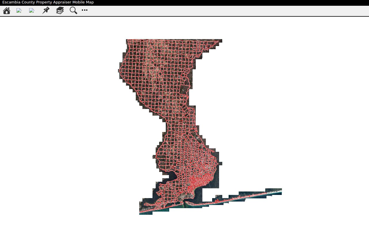
The captured viewer is useful for a close block check, while the full desktop map offers broader drawing and selection tools.
Open the Escambia interactive property map for the county's full parcel display.
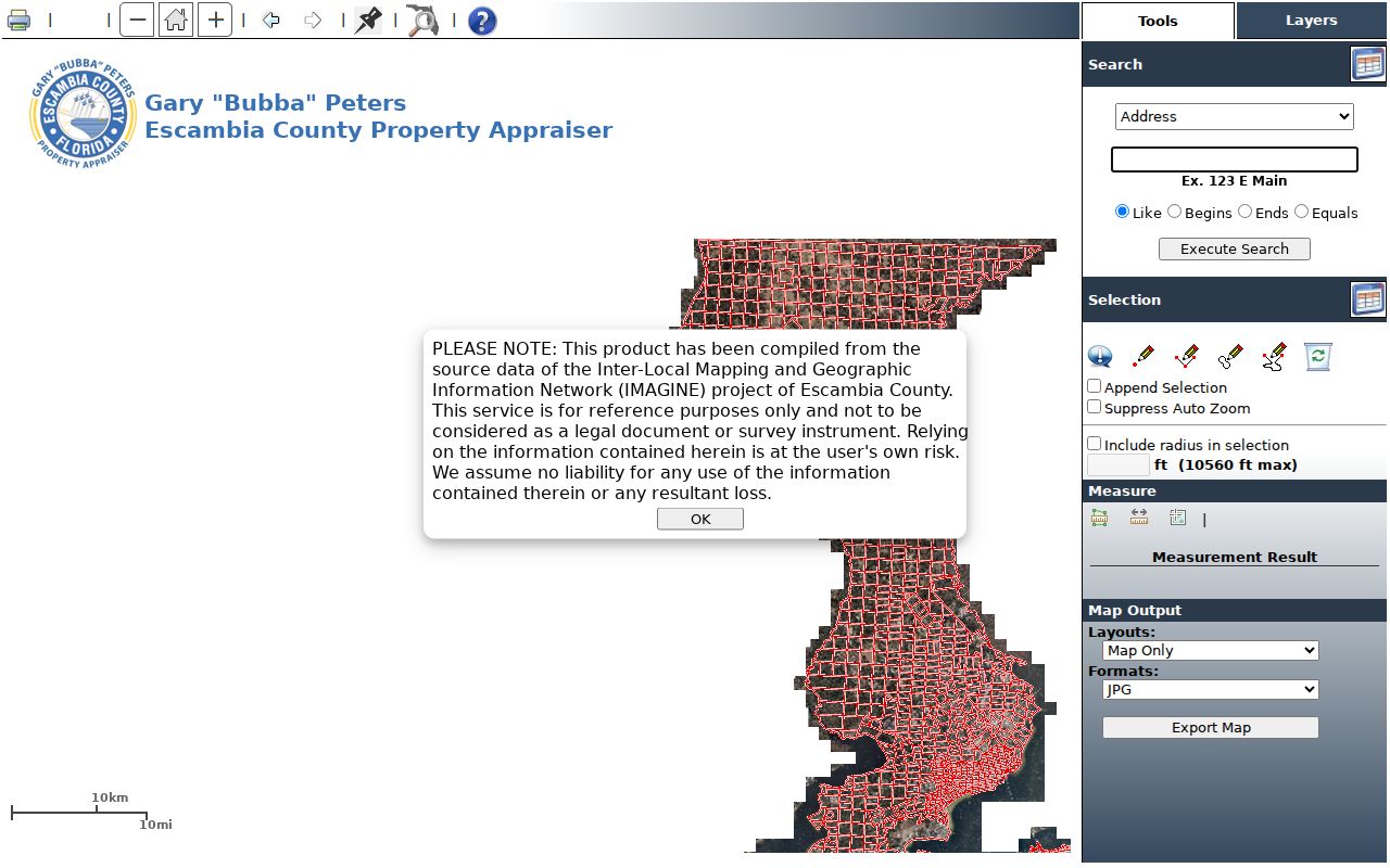
The interactive map supplies the parcel geometry that keeps an immediate-block search tied to official lot boundaries.
Map a Pensacola Neighbor Block
Keep the workflow focused on the few parcels that make up the immediate surroundings. The goal is a bounded block result, not a whole named-street sweep.
- Find the address in ECPA GIS and confirm the subject parcel number.
- Select the side, rear, and across-street polygons, appending each one to the set.
- Open each parcel card. Keep owner, situs, mailing, exemption, and legal-description fields separate.
- Add city district and association boundaries, then use the voter extract only through its lawful request channel.
When the question expands beyond the immediate lots, the Pensacola street directory follows the full street-by-street chain. That broader method also carries parcel sales into recorded deeds and address records.
Pensacola Neighbors in Voter Files
VoterFocus confirms one voter's own status with name, birth date, agreement, CAPTCHA, and sometimes house number. It is not a block browser. The lawful block-level channel is Florida's monthly voter extract request. The state supplies active and inactive county files through the prior month. Filter the Escambia registration file by residence address line, USPS city, and ZIP.
Public fields can include name, residence and mailing lines, party, precinct, districts, contact fields, and registration date. The history file uses election participation codes but never reveals ballot choice. Protected voters, pre-registered minors, and Address Confidentiality Program participants are excluded; nonvoters never enter the roll. A block result therefore measures public registration presence, not every Pensacola neighbor.
Two different tools. VoterFocus checks one voter. The requested monthly state extract is the lawful street and block file.
Pensacola Neighborhood Contacts
The Council of Neighborhood Association Presidents of Pensacola, or CNAPP, represents associations citywide. Its rules allow a city association to join by submitting bylaws, geographic boundaries, and membership open to adults within those boundaries. The annual fee listed for 2026 is $25. CNAPP publishes association guidance and directs visitors to the City GIS Neighborhood Association layer, but its directory currently reports a loading problem. No public resident or member roster was found.
City Neighborhoods
Pensacola neighborhood resources
Official city entry point for local programs and organizations.
CNAPP
Association directory
Boundaries and civic contacts, not household names.
City Council Map
Council district map
Connects a block with its elected district.
The official 2025 Westside plan names Westside Garden District, Tanyard, and Sanders Beach and identifies CNAPP as a citywide representation group. It also mentions Historic Brownsville and Westpointe Heritage organizations, though current activity was not confirmed. County-side Warrington groups publish contacts and meetings, but those are not citywide Pensacola associations.
Review the CNAPP neighborhood directory for its current association instructions.
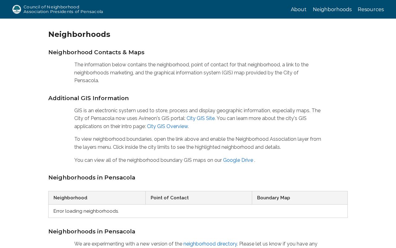
The directory is an association contact layer, and its loading issue should not be read as proof that an organization is inactive.
Open Pensacola's official neighborhood resources for city programs and links.
The city page helps connect a mapped block to civic resources without presenting a private household roster.
Pensacola District and Staff Layers
City GIS layers include streets, parcels, zoning, parks, and special districts. An archived address lookup can return council district, council member, zoning, and neighborhood association from an address or hyphenated parcel reference. City applications are being replaced, so a failed legacy tool should lead to the current GIS overview or a city records request rather than a guess.
Open the Pensacola council district map to place a block in its civic district.
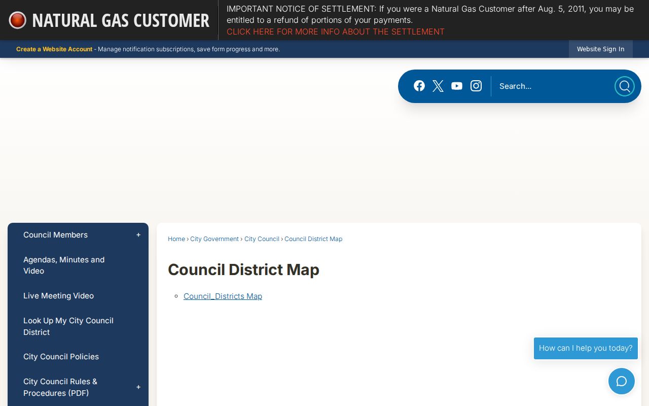
The district view adds civic context but does not identify residents or parcel owners.
Check the official Pensacola staff directory for public work contacts tied to city services.
Staff names and phones are public work information, not a household directory for the surrounding block.
Pensacola Neighbor Source Differences
Commercial neighbor tools often merge parcel, voter, and inferred household data. Freshness and identity matching vary, and a polished profile does not cure gaps in official sources. Official rolls are narrower but disclose which agency created the record and what legal role it represents.
| Source type | Strength | Key limit |
|---|---|---|
| Official parcel and GIS | Current parcel geometry and named owner | Owner does not equal occupant |
| Official voter extract | Dated public registration fields | Shielded people and nonvoters absent |
| Civic association | Boundary, contact, meetings | No verified resident roster |
| Commercial compilation | May combine many sources | Inference, freshness, and correction vary |
Historic Pensacola Neighbor Blocks
Cross directories at West Florida Public Libraries may list occupants by address for a past year. Pensacola city directories and telephone books add names, while Sanborn fire-insurance maps show building footprint, material, use, and street context. Neither source should be stretched beyond its date. A Sanborn sheet does not name occupants, and a directory entry remains evidence for its publication year only.
Pair the two formats when researching how a block changed. Start with the historic address, account for old spellings and relational terms such as near, corner, or opposite, then compare a directory occupant with the same-era map and census. Modern parcel legal descriptions provide a more stable bridge when street numbers shift.
Pensacola Neighbor Privacy Limits
Public access stops well short of a complete household list. Parcel records miss most renters and household members. The voter roll omits nonregistrants, protected voters, and pre-registered minors. Private utility, delivery, and customer files are not substitutes. Motor-vehicle personal information is restricted by the federal Driver's Privacy Protection Act.
Florida's Address Confidentiality Program supplies substitute addresses to qualifying victims of domestic violence and stalking. Section 119.071 and related laws can protect defined officials, occupations, victims, spouses, and children. An absent name may reflect protection, a different record role, or simple nonparticipation. Do not treat absence as proof.
Lawful use. Use neighbor records for lawful civic and personal research. Florida law prohibits stalking, threats, repeated harassment, and cyberstalking.